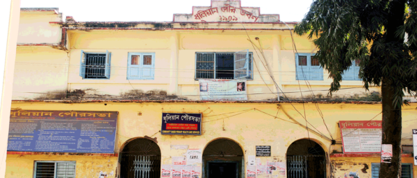
Dhuliyan is a very densely populated Municipality Comprising 21 No. of Wards in Jangipur Sub-Division of Murshidabad District. This Municipality was established in the year 1909 with 9 No. of Wards and population of 8,295. Its Distance from Sub-divisional Head quarter at Raghunathganj is 37 K.M. and that from district Head quarter at Berhampur is 94 K.M. Population of the Municipality has reached 95706 (As per Census 2011) whereas geographical Area of the Municipality remains 6.25 Sq K.M. only. Now the Municipality area is spread over Kanchantala, Anupnagar, Lalpur and few more Villages. Near about two third of the population belong to Muslim community and remaining one third belong to Hindu and Jain Community. Percentage of Literacy is 52.53
Dhuliyan is located between river Ganges & Hooghly Canal. Soil erosion has shifted the town towards south-west from its earlier position . This town is mentioned as an Inland Water Transport (IWT) Trading point between Murshidabad and the city of Rajsahi in Bangladesh. Thus , this Municipality is surrounded by Farakka in the north, Aurangabad in the south, Jharkhand in the west and Ganges River & Bangladesh country in the east. It is within 56, Samsherganj Assembly Constituency & 8, Malda (South) Parliamentary constituency. Names of present M.L.A. & M.P. are Janab Amirul Islam & Isha Khan Chowdhury respectively.
Chairman's Desk
We are proud to be a citizen of the Dhuliyan Municipality